Some of the very prominent activities are as follows:
The prime and foremost effort made was the removal of encroachments along the river,
laying of boundary stones and formation of demarcation bunds of the River from the
origin. Next was the desiltation of 7 tanks out of 31 tanks in the Noyyal River System.
Then came the desiltation of Chithrai Chavadi Anicut – Out of 21 anicuts in the Noyyal
River System. This was followed by the construction of a new water body in the foothills
of Western Ghats – Nandangarai Check Dam which can hold 150 million litres of water,
thus benefiting about 1500 hectares of farming land.
Siruthuli took up the Mathuvarayapuram Watershed Development project.
Madhvarayapuram village is located at the foothills of the Western Ghats, near the
origin of River Noyyal. A micro-level watershed programme was sanctioned by
NABARD (National Bank for Agriculture & Rural Development) to treat 1300 ha of
agricultural land. This comes under the Noyyal river basin which sprawls over 3550 sq
km [355000 H.a] covering 4 districts namely Coimbatore, Tirupur, Erode and Karur. The
first phase of the watershed project is the Capacity Building Phase which will cover an
area of 100 ha. After the successful completion of this Phase, the Full Implementation
Phase will follow which covers the balance of 1200 ha of agricultural land.
This project is a long-term wish of the farming community in Nallurvayal, Sadivayal,
Alandurai, Madhvarayapuram and Kallipalayam areas. Siruthuli was constantly
interacting with the farmers of these regions and they were also taken for an
educational jaunt to the Kadavakurichi watershed project implemented by the Centre for
Improved Rural Health and Environmental Protection [CIRHEP], Nilakottai Taluk of
Dindigul District in 2008. The CIRHEP representative gave a presentation on various
components executed in the project area and the distinct roles played by the community, the implementing agency and the funding agency, NABARD.
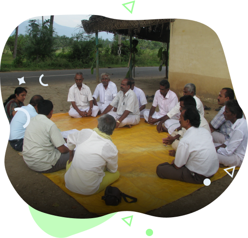
A Village
Watershed Committee was formed with the beneficiary farmers for ensuring smooth and
effective execution of works.
The watershed area selected for Capacity Building Phase (CBP) starts from the
foothills, its topography is plain with a gentle slope towards the North and East. There
are two streams draining out from the hills that flow along the Southern and Western
boundaries of the watershed area. The area selected is practising a mono-cropping
system during North-East Monsoon with paddy being the main crop.
As per the norms of NABARD, shramdaan works were carried out by the beneficiary
farmers towards which they contributed 720 men days for the clearing of bushes for
400m, removal of blocks along the canal ensuring free flow of water for 400m,
sectioning of the canal for 400m and desiltation of 3 existing check dams. The process
carried out during the Capacity Building Phase was clearing the water distribution
canals, gully plugs across the water channel, gabion structures across the dams and
streams ,diversion weir at water-sharing locations, ploughing in cultivable fallow lands,
distribution of fruit-bearing tree saplings, income generation programmes for the
landless such as backyard poultry, petty shop, revolving fund and training on agriculture
for farmers and on IGP for landless.
Following the successful completion of the CBP, the Full implementation Phase of the
remaining 1200 ha will be taken up for 3 years.
After completion of the Full
implementation of the Mathuvarayapuram Watershed project, Siruthuli plans for a macro
-level watershed development project for an area of 400 H.a in the west of Coimbatore
which is to be implemented simultaneously within 5 years’ time.

